
High Rock

Length: 400 m trail.
Difficulty: Moderate. The trail is steep but footing is good. The most challenging part is the paddle to the island; the hub is a wide open space and can be windy. Should only be attempted by competent paddlers under favourable conditions; avoid if water is choppy.
Access: 40-minute drive to boat launch plus 4 km paddle (or water taxi ride). Paddling takes roughly 1.5 - 2 hours depending on wind; water taxi takes 5 minutes.
Time commitment: 6+ hours if paddling.
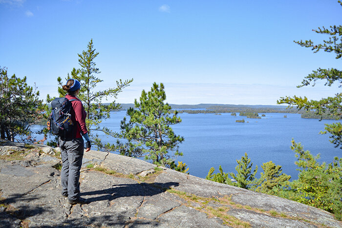
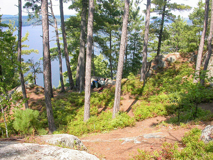
High Rock is a First Nations sacred site, traditionally used for vision quests. Located on an island just south of Lake Temagami's hub, its short, steep trail and commanding view make High Rock a popular picnic spot. It’s a particularly pretty hike - juniper and blueberry bushes mingle with oaks and pines, fern-covered boulders dot the hillside, and the ground is soft with golden pine needles. Can be reached by canoe or water taxi.