Canoe Route Maps
Available for purchase in-store
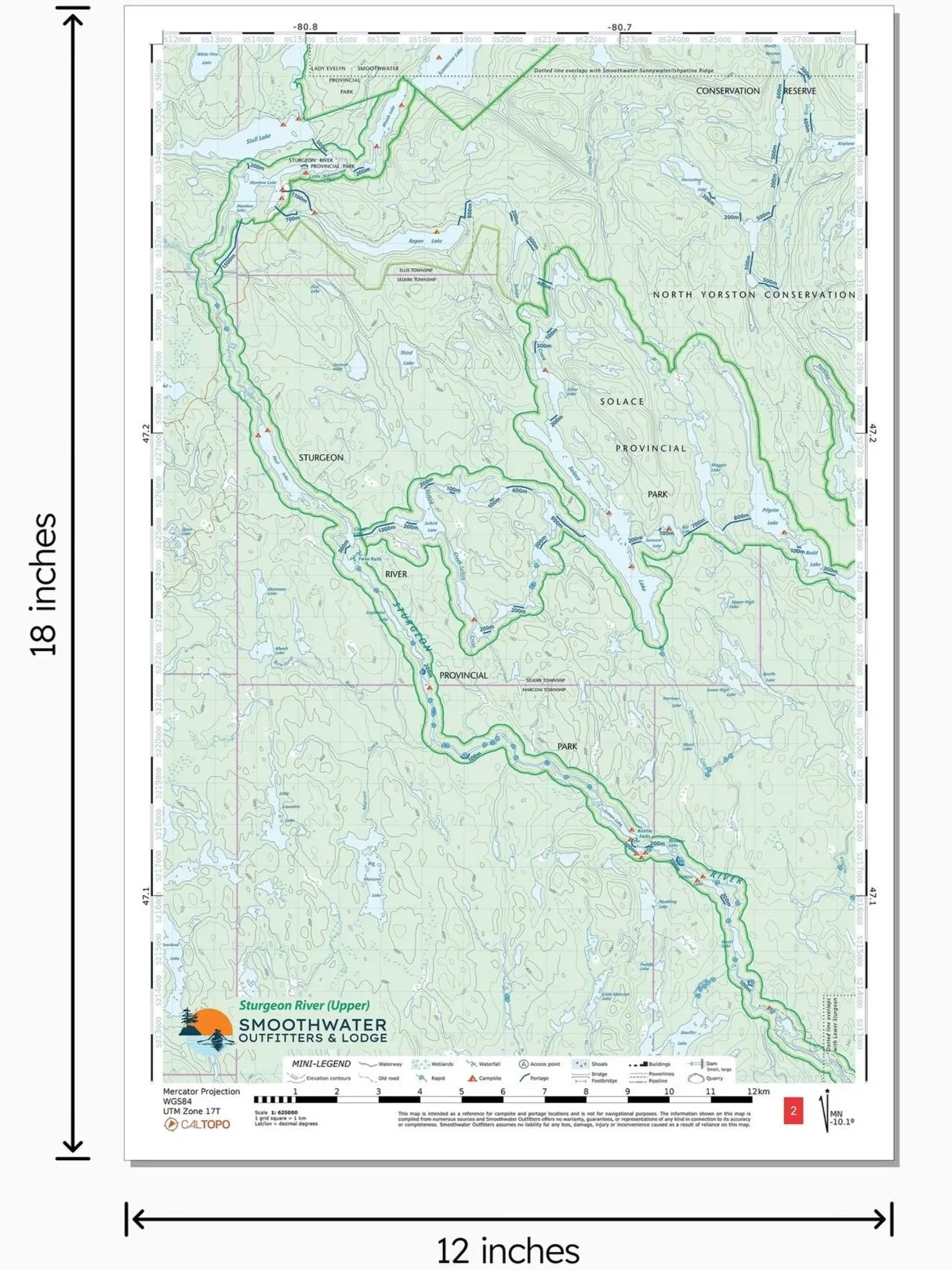
Minimalist maps for Temagami’s most popular canoe routes. Portable and durable, these 12” × 18” waterproof sheets use topos from Natural Resources Canada as their base. They are marked with portage locations & lengths, campsites, hiking trails, and a simplified legend to keep things compact. Most sheets are double-sided for efficiency, flexibility and affordability.
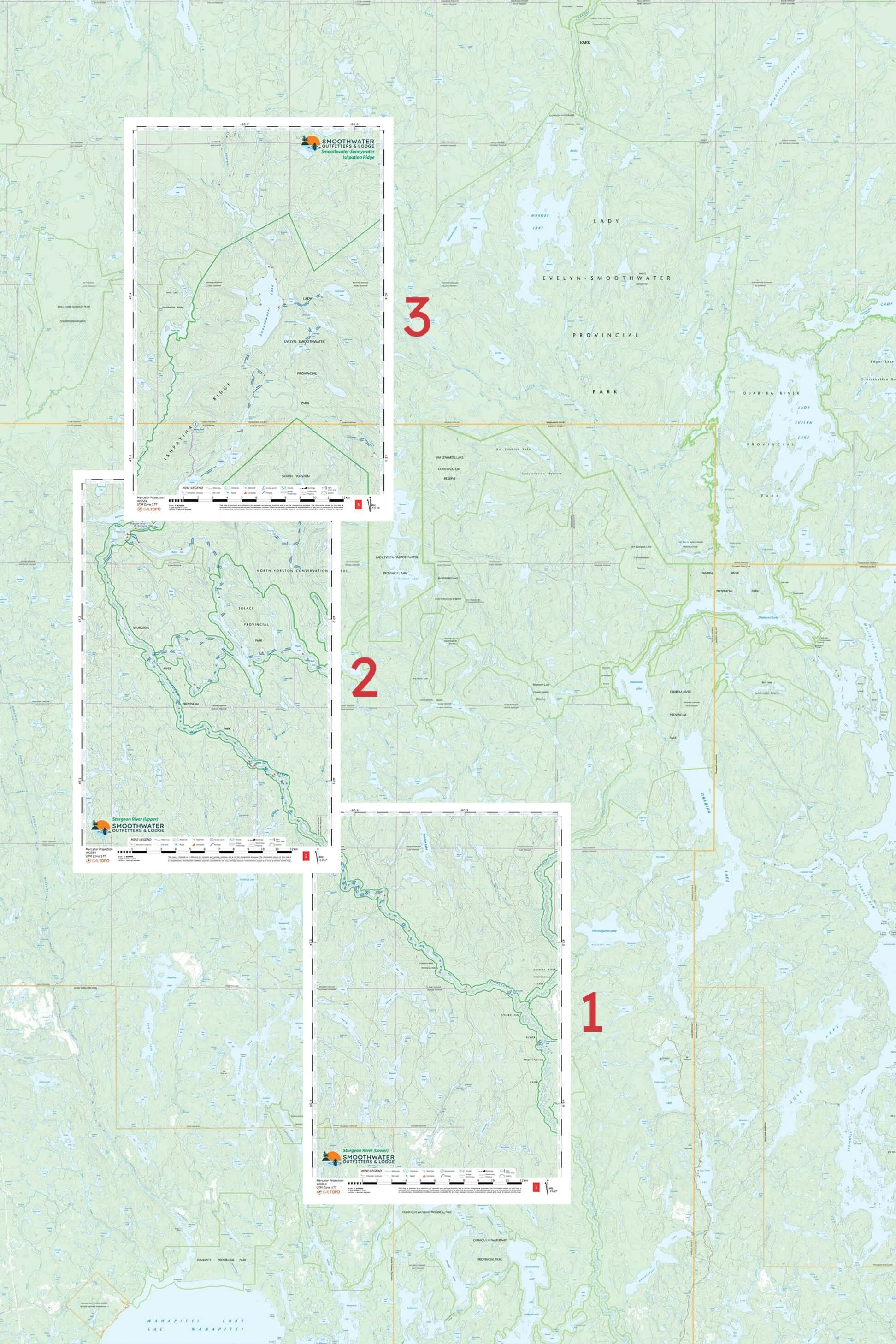
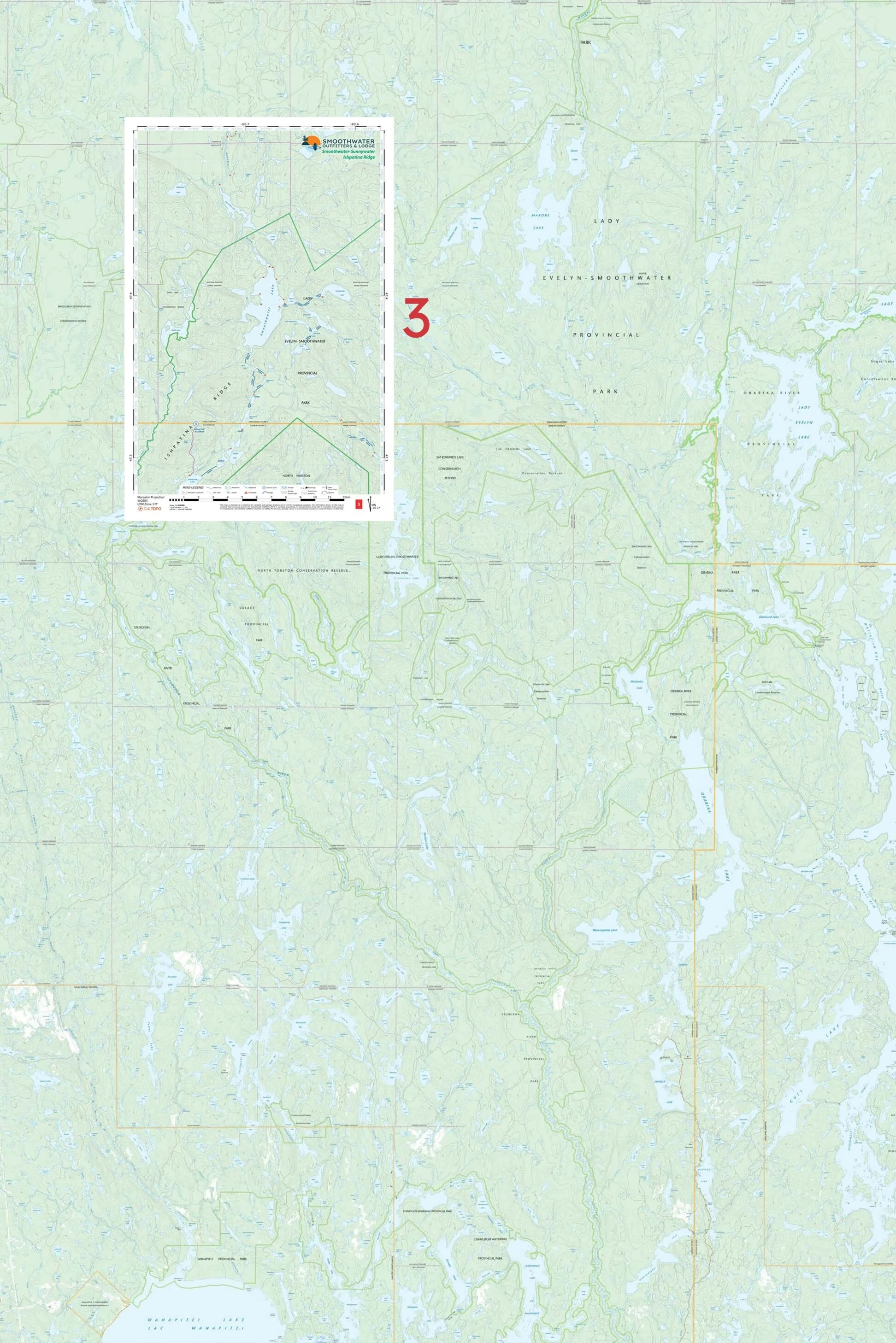
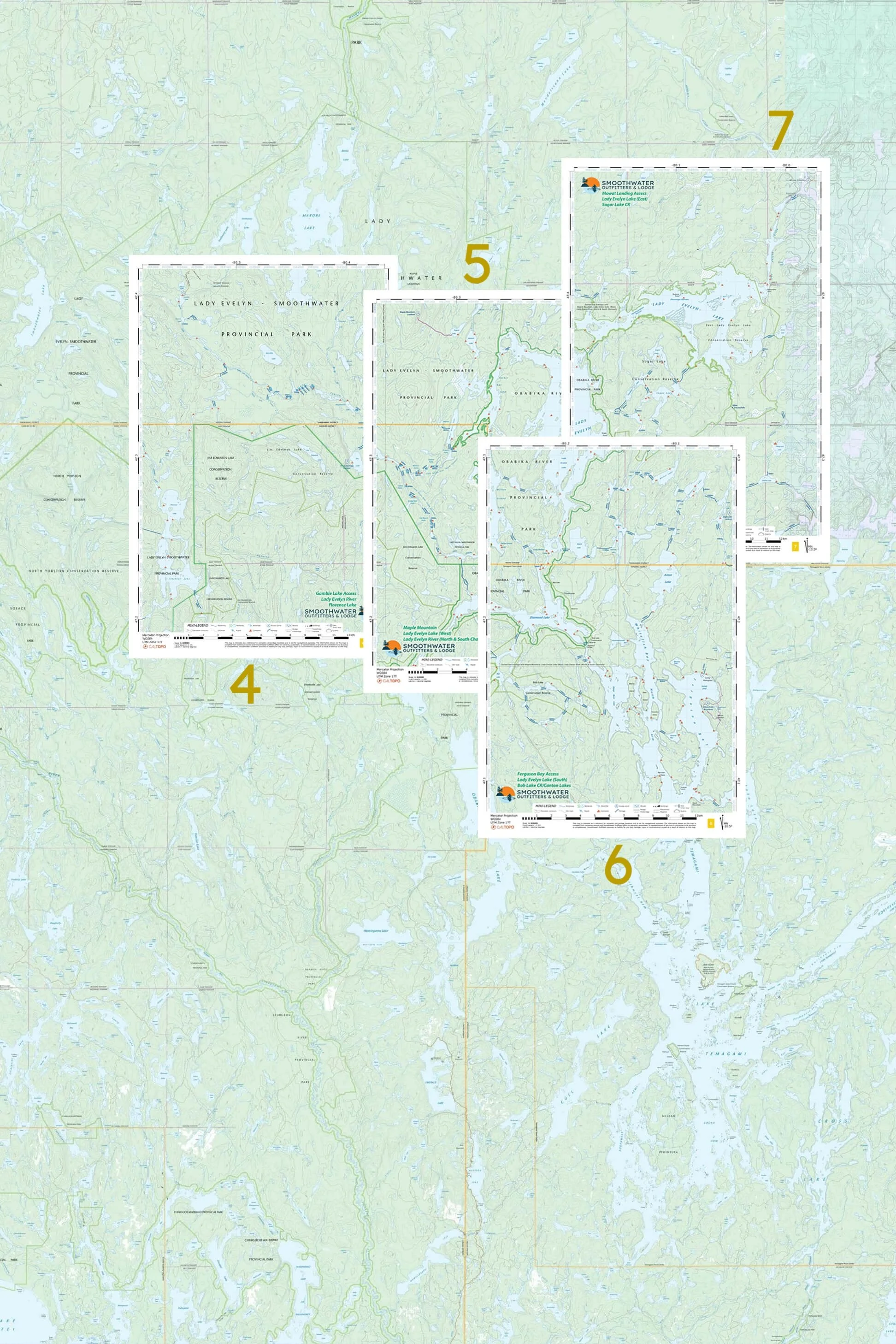
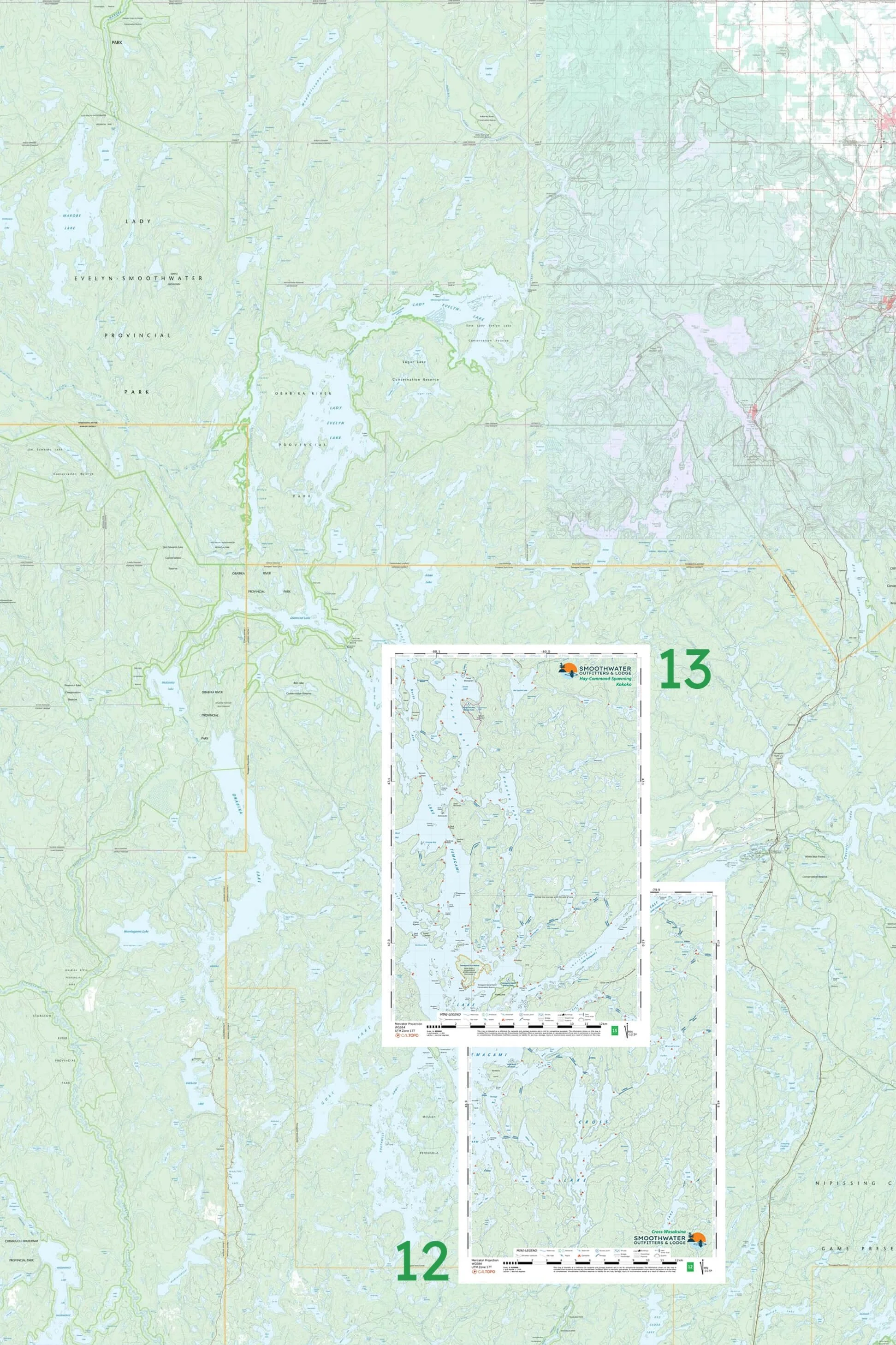
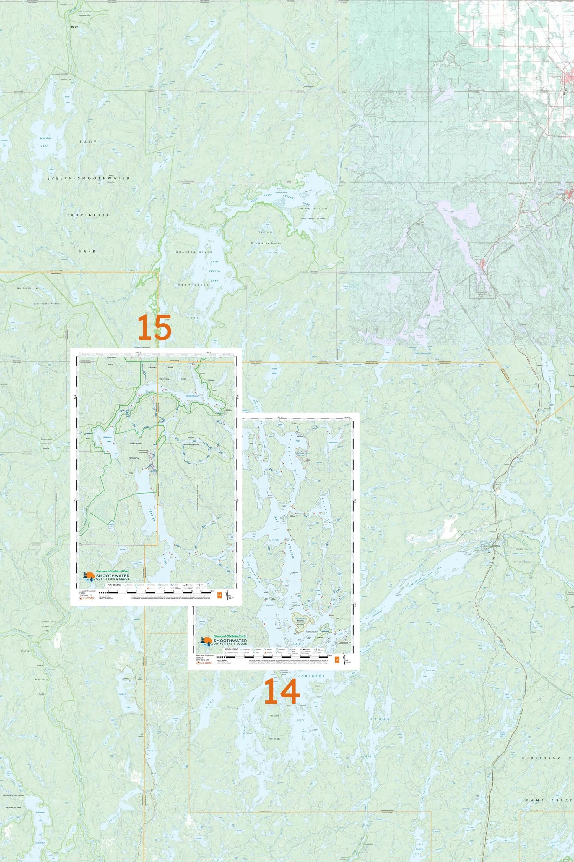
Please note: These maps represent the Temagami canoe routes we most often suggest to our clients. They do not offer comprehensive coverage of the Temagami backcountry. Please consult the locator map to see each map in context.
• Scale is 1:62 500
• Sheet size is 12” × 18”
• Printed at 400 DPI resolution on synthetic (waterproof) paper
• Includes UTM coordinates, grid lines, and latitude/longitude
Options
1 & 2 & 3: Sturgeon River Package One double-sided sheet printed with No. 1 & 2, and one single-sided sheet printed with No. 3. Coverage from Montreal River access point to Lower Goose Falls exit point.
3: Smoothwater-Ishpatina One single-sided sheet. Covers Montreal River access, Smoothwater, Sunnywater, north end of Scarecrow, and Ishpatina Ridge.
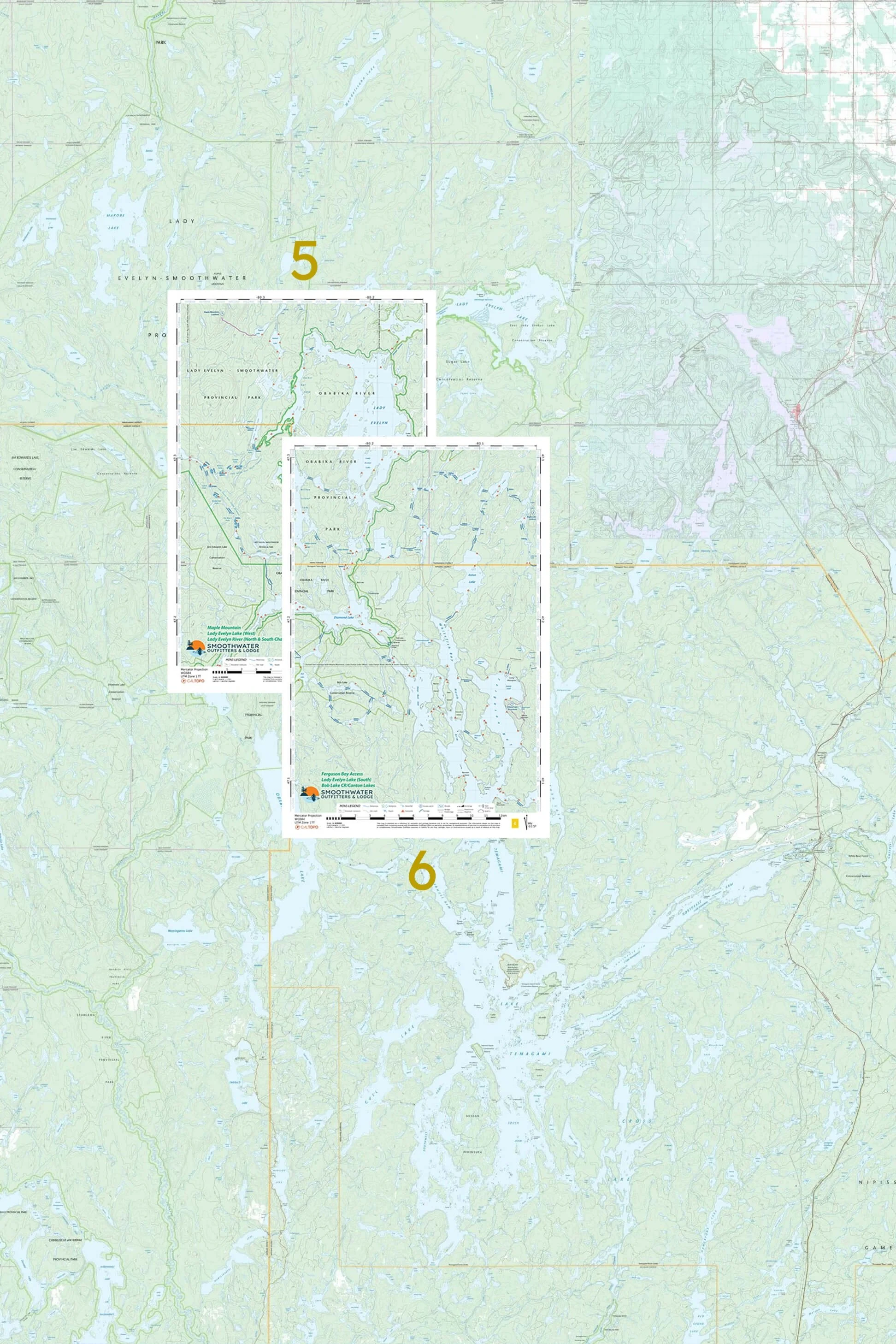
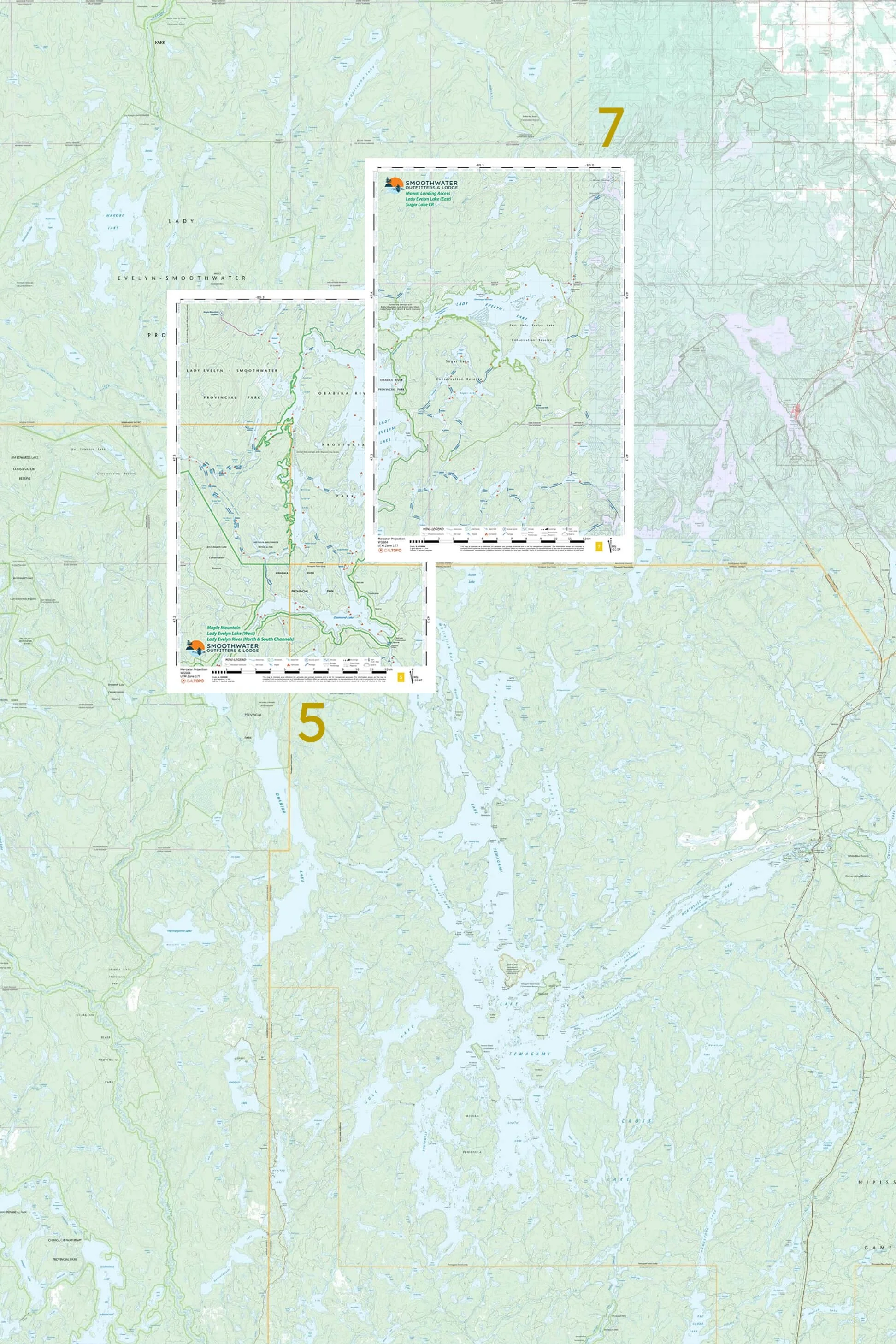
4 & 5 & 6 & 7: Lady Evelyn River Package Two double-sided sheets, one printed with No. 4 & 5 and the other printed with No. 6 & 7 so you can choose your exit point from the Lady Evelyn River route. Covers Gamble Lake access, Florence Lake, entire Lady Evelyn River including Trout Streams, entire Lady Evelyn Lake, Maple Mountain, Diamond Lake, Sugar Lake Conservation Reserve, and exit points at Ferguson Bay and Mowat Landing.
5 & 6: Maple Mountain/Ferguson Bay Access One double-sided sheet. Covers Maple Mountain, north & south channels of Lady Evelyn River (“the Trout Streams”), Lady Evelyn Lake west of Obisaga Narrows, Diamond Lake, and Ferguson Bay access (Red Squirrel Rd) .
5 & 7: Maple Mountain/Mowat Landing Access One double-sided sheet. Covers Maple Mountain, north & south channels of Lady Evelyn River (“the Trout Streams”), Diamond Lake, all of Lady Evelyn Lake, Sugar Lake Conservation Reserve, and Mowat Landing access.
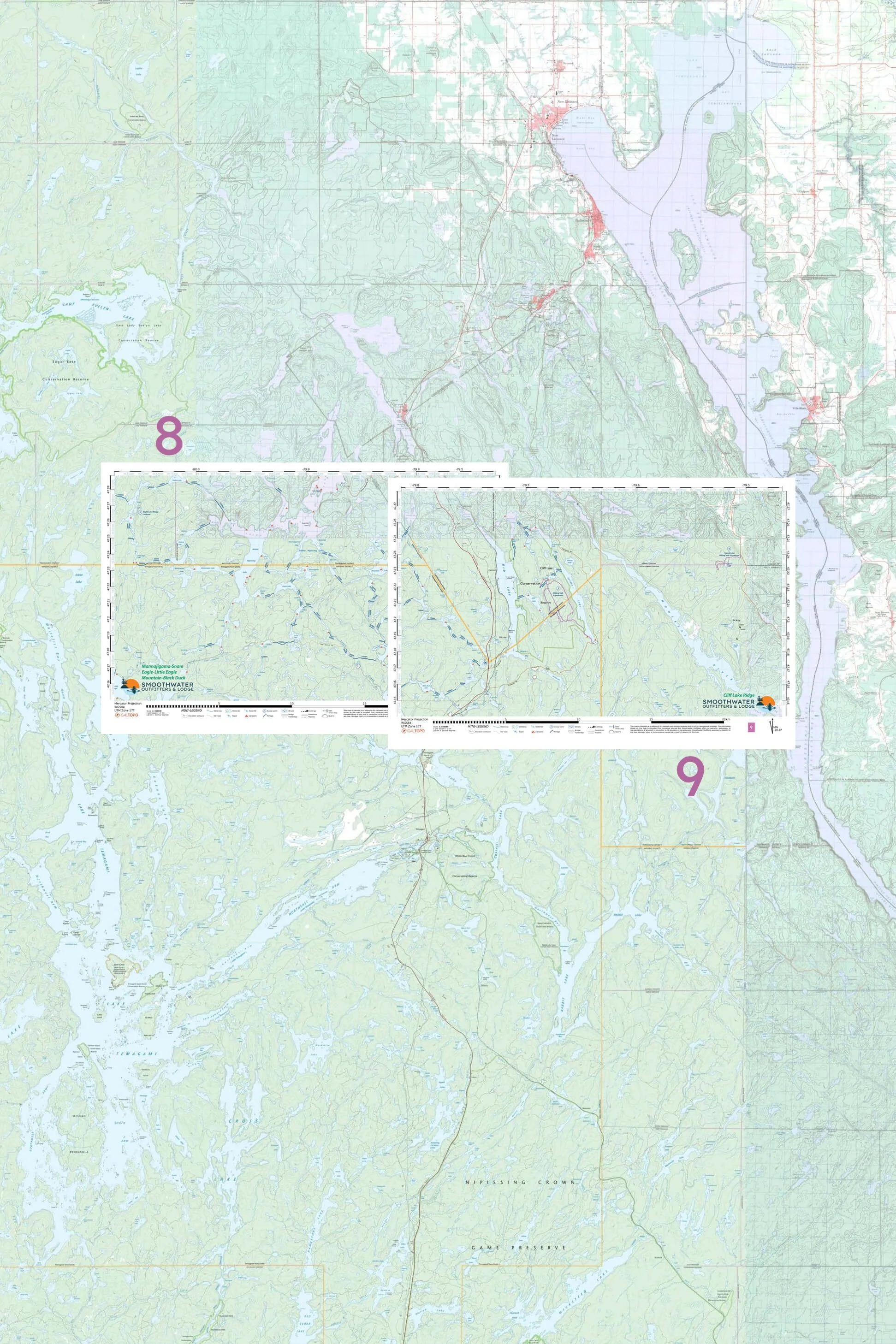
8 & 9: Anima Nipissing/Cliff Lake One double-sided sheet. Covers Anima Nipissing Lake south of Anima Nipissing Rd access to McLean Lake access (Red Squirrel Rd), Eagle-Little Eagle loop, Mannajigama-Snare loop, and Mountain-Black Duck loop. Also Rib Lake, Cliff Lake, Friday Lake. Includes hiking trails on the Cliff Lake Ridge and at Hermit Lake (in the Lorraine Valley, east of the Montreal River ).
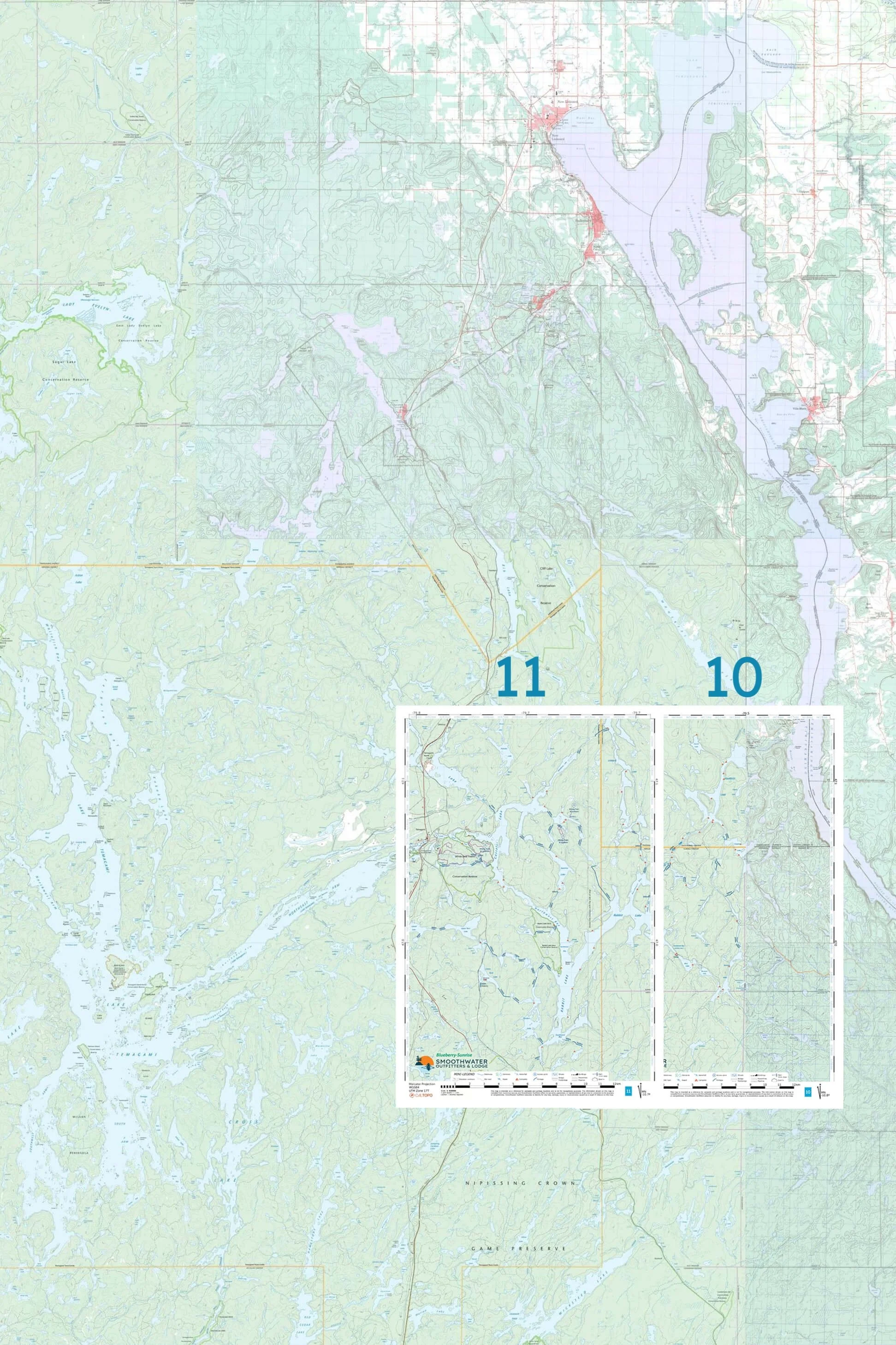
10 & 11: Matabitchuan River/Blueberry Lake One double-sided sheet. Covers Cassels Lake, Blueberry, Sunrise, Rabbit, Ross, Burwash, Maxam, Cooper, Fourbass, Lorrain, and the Matabitchuan River. Includes Blueberry Lake and White Bear Forest hiking trails.
12 & 13: Cross/Kokoko One double sided sheet. Covers Cross-Wasaksina loop, Kokoko Lake, the north arm of Lake Temagami to Ferguson Bay and the Hay-Command-Spawning loop. Includes access points at Tetapaga Creek/Iceland Lake, the end of the Lake Temagami Access Rd, and Ferguson Bay (Red Squirrel Rd).
14 & 15: Diamond/Obabika One double sided sheet. Covers Lake Temagami north of and including Lake Temagami Access Rd landings, Obabika Inlet, Obabika Lake, Wakimika River, Wakimika Lake, Diamond Lake, Bob Lake Conservation Reserve (Canton Lakes), and Ferguson Bay access. Includes Obabika old-growth hiking trails.